Description
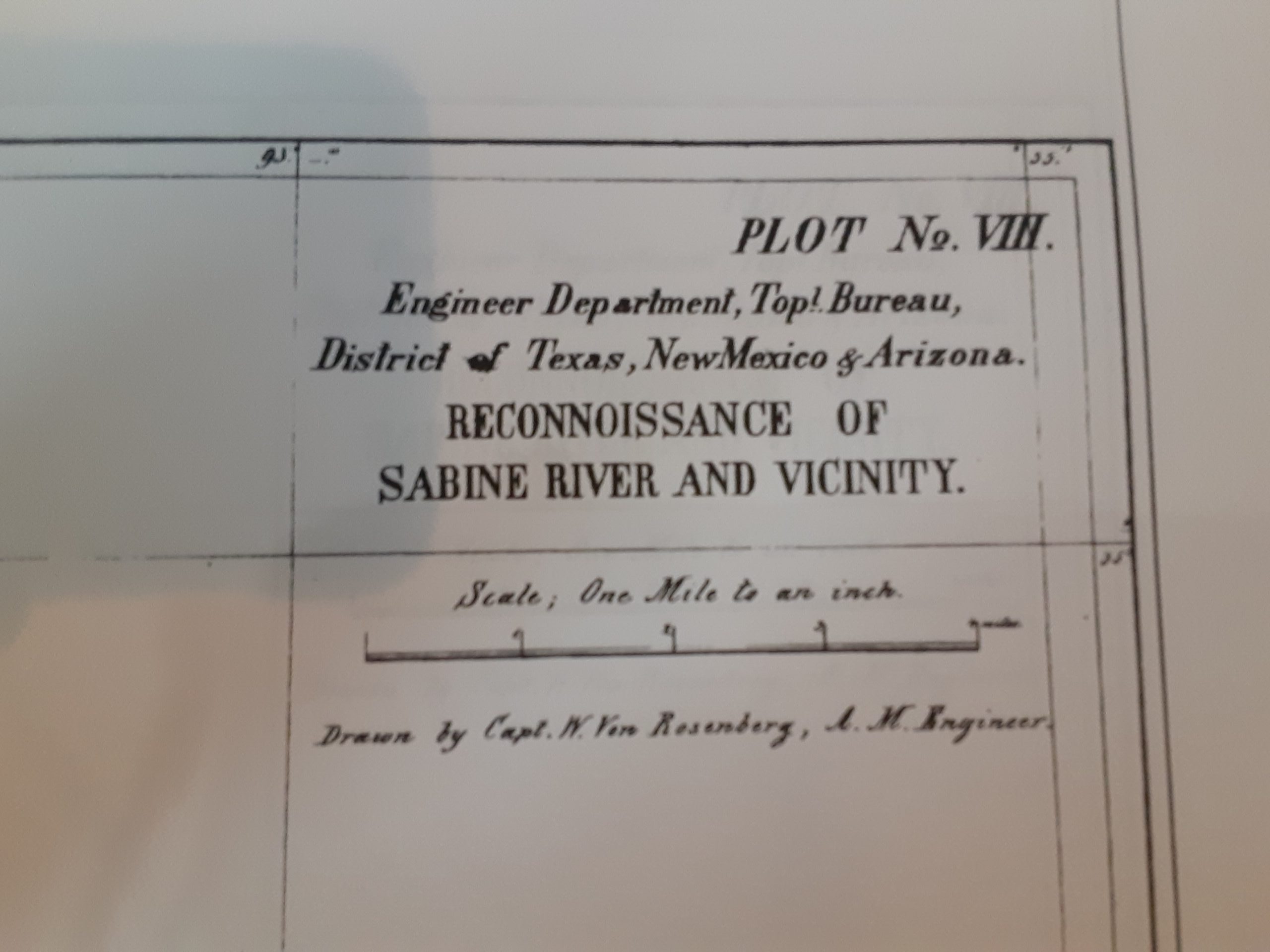
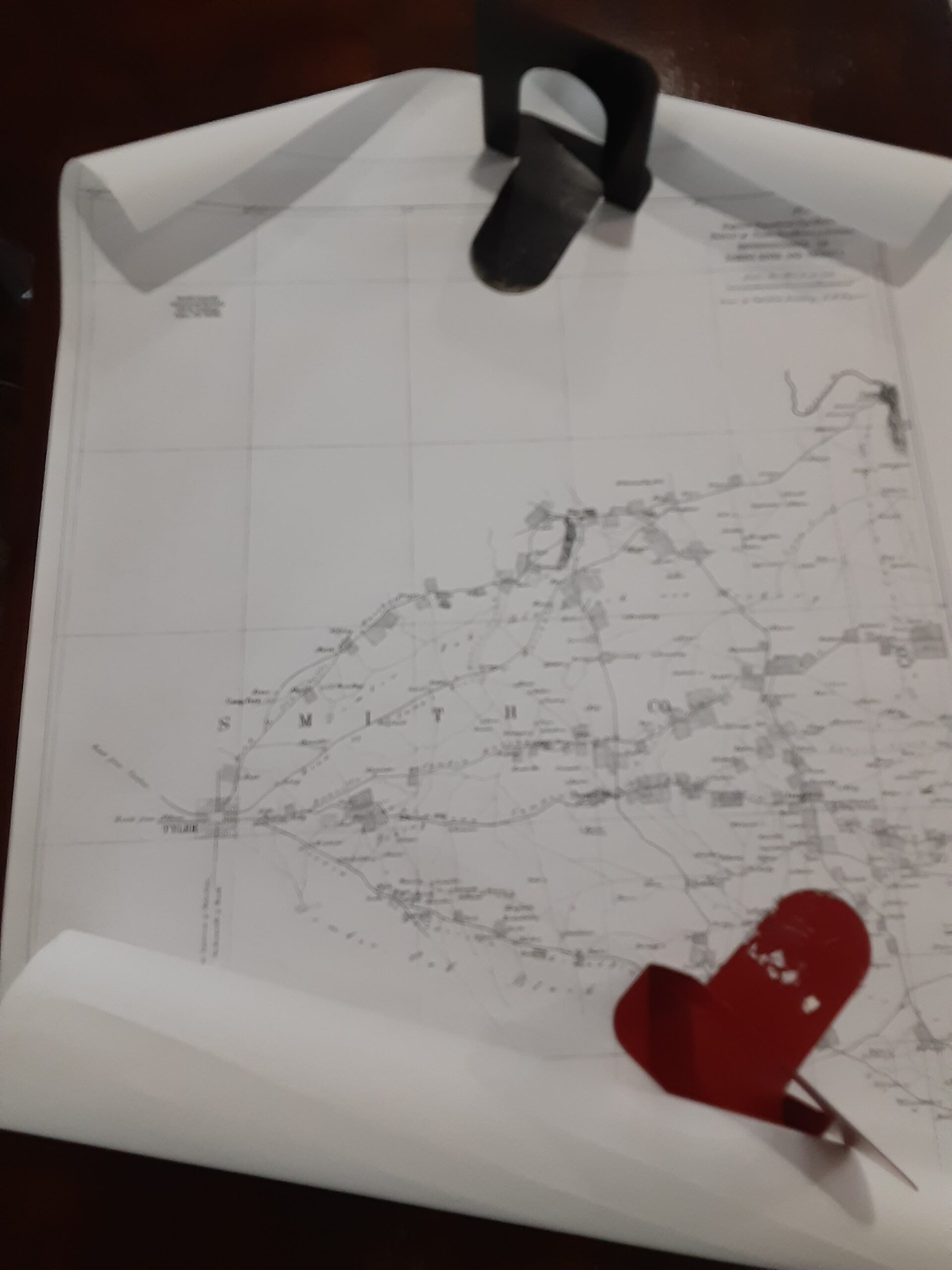
Carl Wilhelm “William” von Rosenberg drew this map; shows a portion of the northeast quadrant of Smith County, Texas during 1863. The map shows a part of the Sabine River and its vicinity. The farms of many period surnames are shown and the locations of roads and waterways as well. It measures 36″ x 24″ and is printed on bond paper; intended for research use. There is also an accompanying description paper.
Family surnames are shown on various Civil War era roads and trails: Kidd, Butler, Clark, Rusk, Evans, Marsh, Willfong, Dougal, Terrell, Wallace, Starr, Clinkscales, Dale, Hall, Stillwell, O’neal, Maice, McFarland, Wilson, Brigham, Wilson, Lougry, Lorance, Johnson, Roberts, Anderson, Jordan, Smith, Dillingham, Dobbins, Chisum, Bays, Spence, Baxter, Dial, Holt, Russell, Watson, Inghram, Bell, Smith, Stringfellow, Wallace, Jefferies, Low, Huggan, Disen, Willeosen, Thomas, Hiars, Savage, Carrol, Huyland, Chancellor, Long, Earl, Kelly, Alexander, Stribling, Hendricks, Hodges, Blows, Ros, Ross, Augburn, Yarbrough, Jackson, Dean, Browning, Grabell, Blackman, Hanson, Sanford, Goodman, Hudson, Nichols, Bass, Keaton, Ashley, Moss, Choice, Elliott, Black, Umphry, Davis, Dunn, Hardigpee, Pryor, Kendrick, Cromwell, Barbee, Hunt, Ramsour, Cooper, Epperson, Weaver, Graham, Gordon, Owens, Wright, Harrell, Pinkerton, Cansellor, Edwards, Millstead, Cook, Mangram, Kirkpatrick, Curtis, Baskin, Stewart, Harden, Gibson, Butts, Gory, Floury, Irvin, Kennedy, Paris, Whitrant, Goacher, Dozier, Gillam, Williams, Harris, Bacon, McKain, Sewell, Turner, McNeally, Coal, Nelson, Milby, Long, Fortson, Reed, Leister, Robertson, McIlvey, Doyle, Adams, Mitchell, Harnage, Gurly, Curtis, Barkley, Night, CHoate, Gallman, Hines, Pinson, Ellis, Hugins, Nowlin, Stone, Overton, Whitzant, Pace, Eaton, Harnage, Sebar, Collins, Edmundson, House, Buffington, Wood, Hamilton
There are also distilleries, blacksmith, Tannery, camp grounds, and a ferry shown

