Description
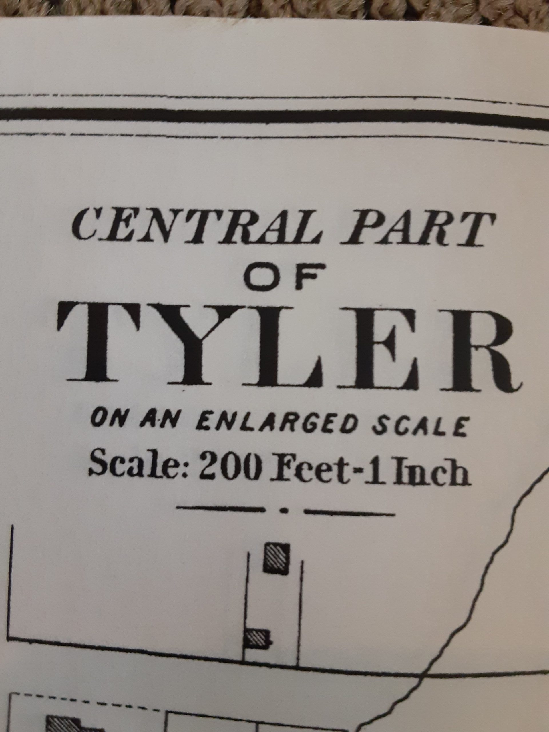
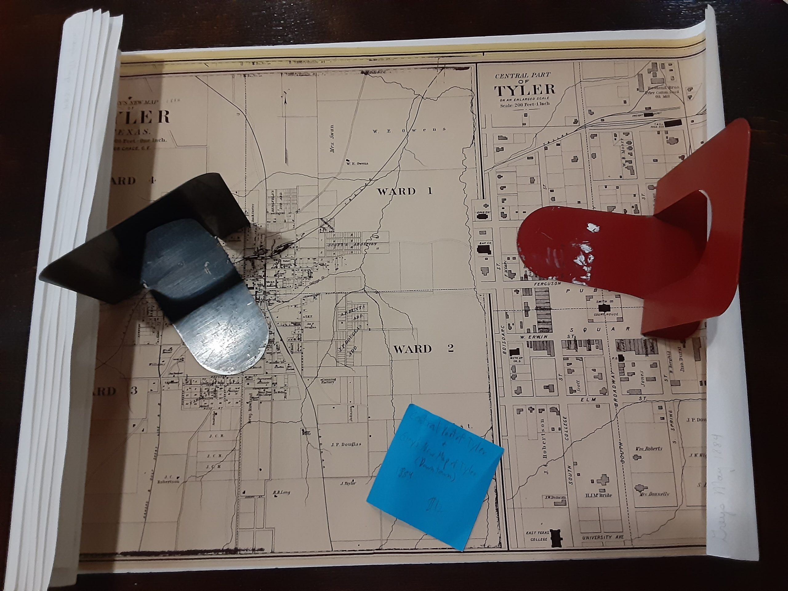
This map has an inset of the downtown area, central part of Tyler and Gray’s new map of Tyler as shown in 1884. The map measures 24.5″ x 16″. The maps show major streets and buildings along with other details from the time. This a wonderful tool to go along with the 1880 census, because it shows the dividing city ward system which is how they enumerated the residents.

Reviews
There are no reviews yet.