Description
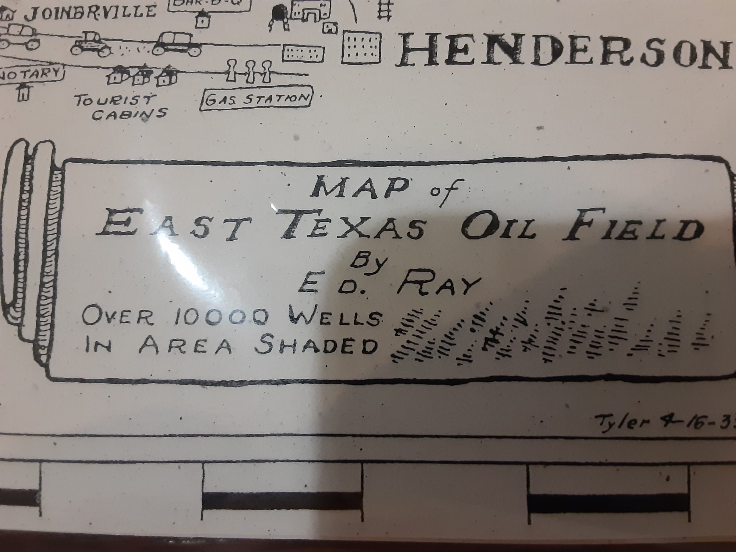
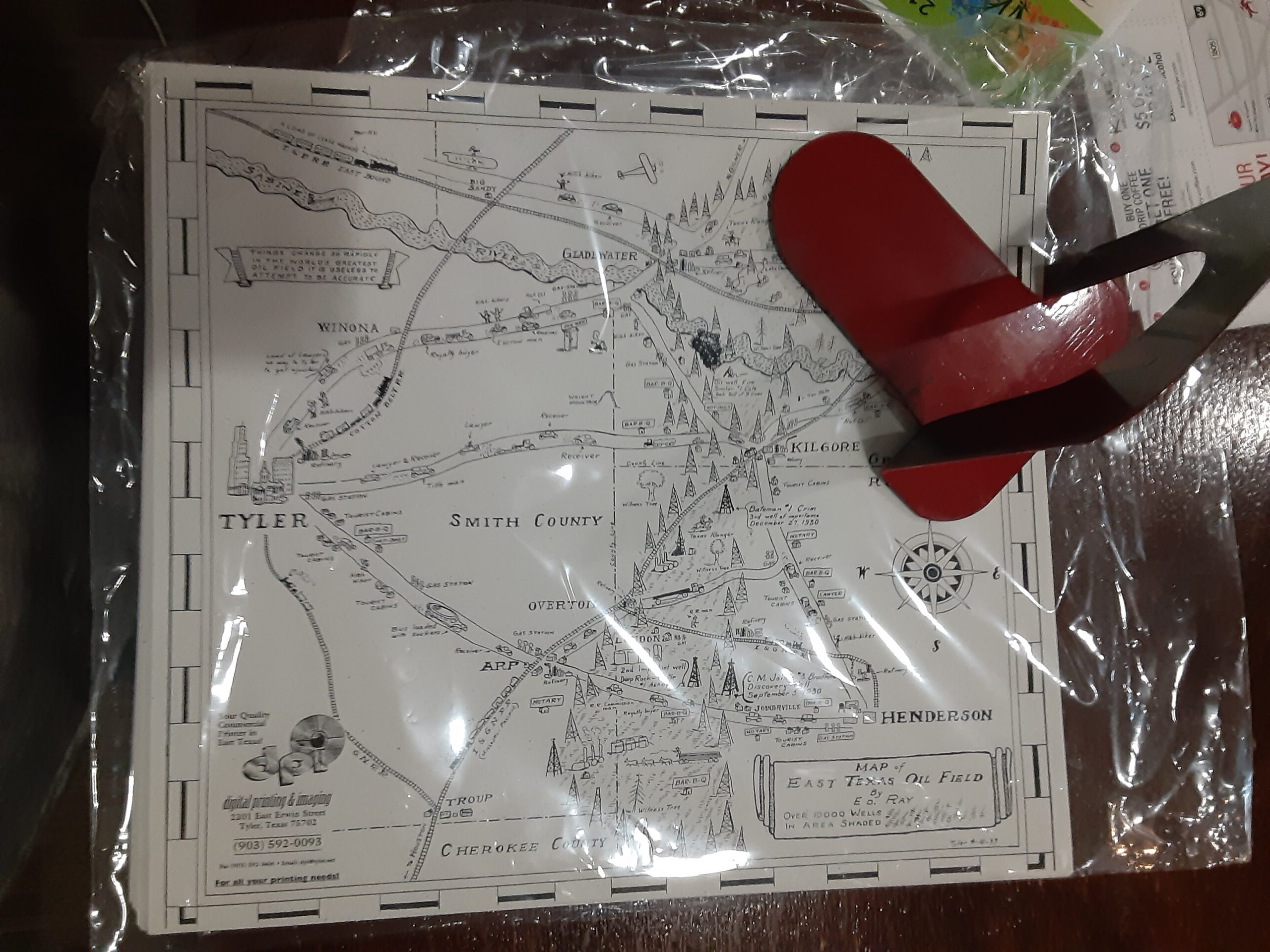
East Texas oil field illustration map from April 16, 1933, it shows the county and the surrounding counties that make up East Texas and major landmarks and other such details. Looks wonderful personalized by color and framed for the wall. Artist was Ed Ray and this was reproduced by DPI in the 1990s. Printed on good weight cardstock. The map is 12.5″ x 11″.

Reviews
There are no reviews yet.