Description
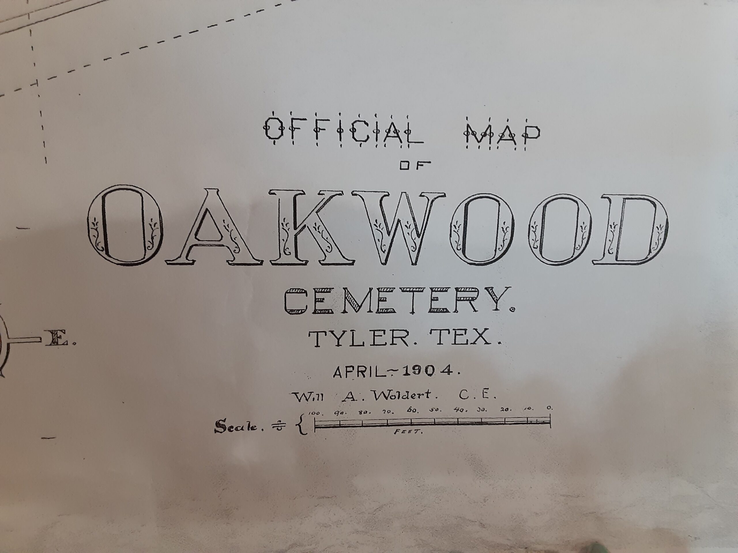
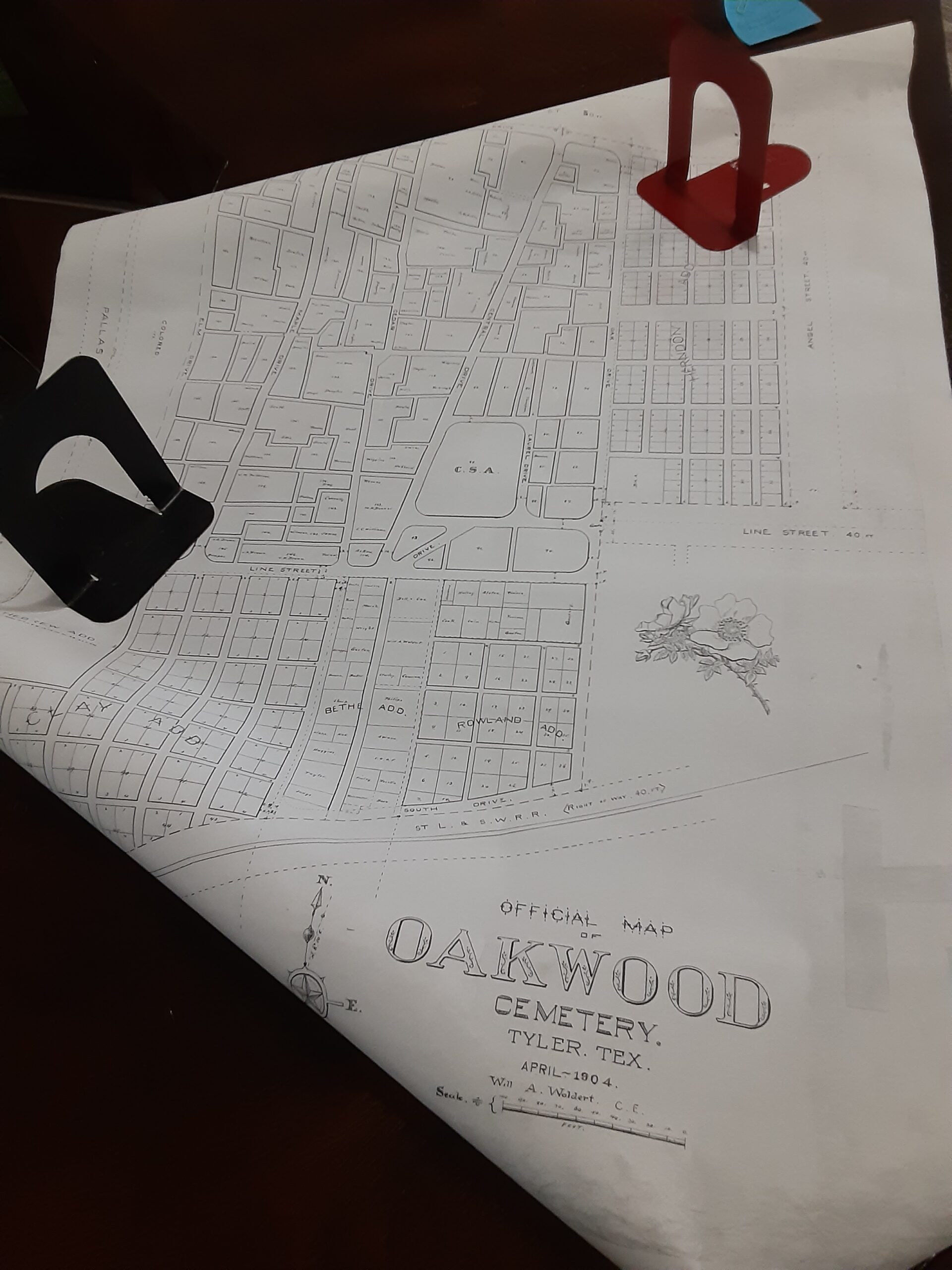
This is a copy of a map of Oakwood Cemetery: the original was drawn by Will A. Woldert, C.E. in 1904. Layout shows the city owned portion of the time and the other “additions” owned by private individuals as well. Some of the city plots have family surnames written in, making it more usable today for the researcher or genealogist to be able to find the gravesite of interest.
The map measures 41″ x 28″.


Reviews
There are no reviews yet.